OUR STORY
She didn't just enter a male-dominated industry. She rewrote who leads it in Puerto Rico.
A founder, a partnership, and the firm raising the standard for critical infrastructure surveying across Puerto Rico and the U.S. Virgin Islands.
In September 2017, Hurricane María shattered Puerto Rico’s infrastructure — roads, ports, the power grid, water systems, communications. The work of rebuilding wouldn’t take months. It would take a decade. And it would demand something Puerto Rico desperately needed more of: licensed, certified, federally-ready surveying capability.
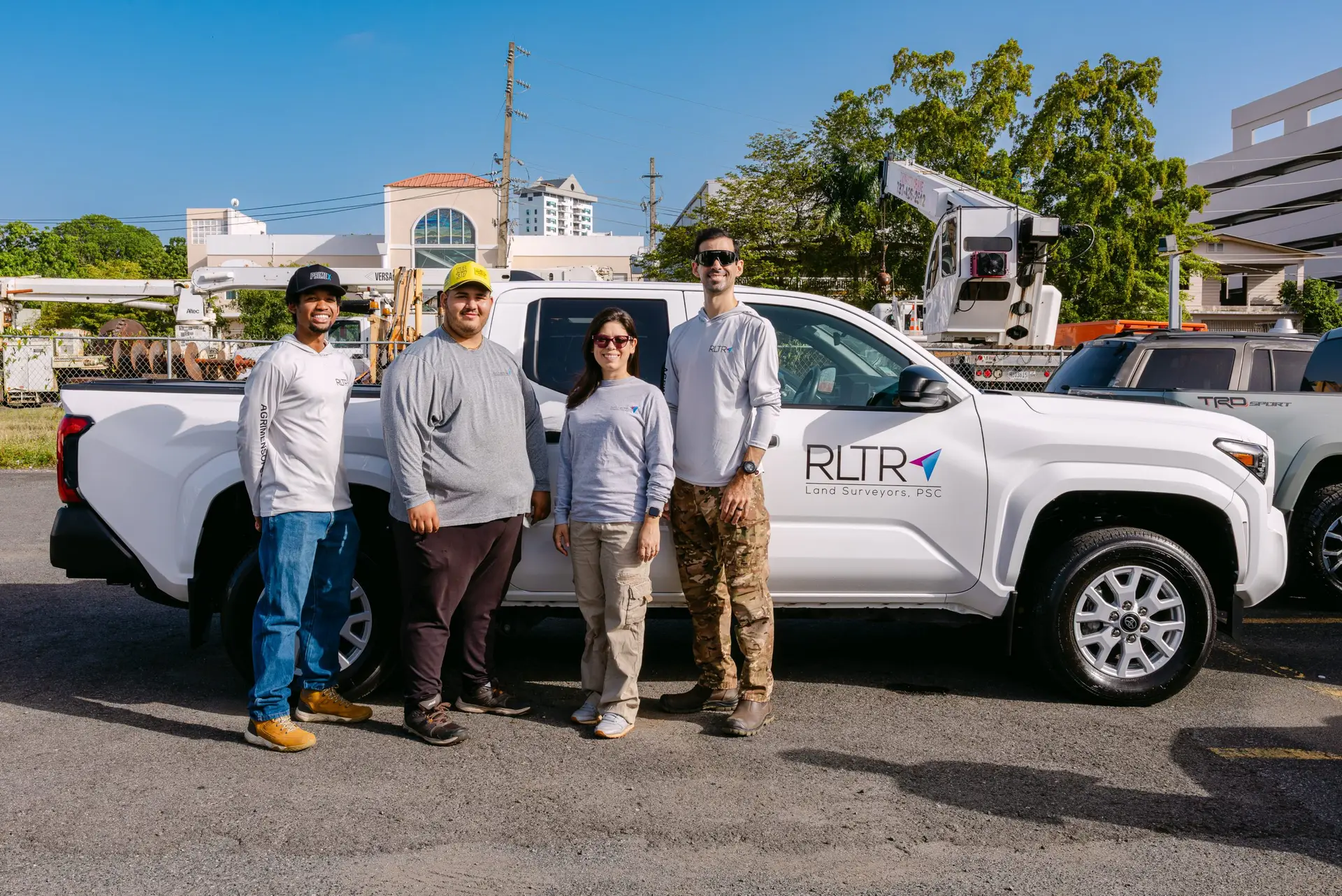
In 2019, as the rebuild gathered momentum, Ruth L. Trujillo-Rodríguez made her boldest move. She founded the first and only woman-owned land surveying firm in Puerto Rico dedicated to serving federal and government agencies. Alongside her husband and operational partner, Ruben Rosado Del Rio, she built something Puerto Rico had never seen before.
She didn’t found RLTR as a newcomer. She founded it as the former Puerto Rico State Surveyor — the highest government surveying post in the jurisdiction — and as the immediate past president of the Institute of Surveyors of the CIAPR. RLTR didn’t start a career. It gave that career a firm.
RUTH’S JOURNEY
A career built at every level of the profession
Government leadership. Institutional leadership. Academic leadership. International recognition. Published thought. And — in 2019 — the founding of RLTR.
GOVERNMENT LEADERSHIP
Former Puerto Rico State Surveyor
Held the highest government surveying post on the island — setting policy, standards, and oversight for surveying work across all of Puerto Rico’s public works.
Past President, CIAPR Institute of Surveyors
Led the professional body of Puerto Rico’s licensed surveyors (2017–2019) during the critical post-disaster reconstruction period — directly shaping the profession’s response.
ACADEMIC LEADERSHIP
Professor — Polytechnic University of PR & InterAmerican University, Bayamón
Teaches the next generation of geospatial professionals — bringing field-tested expertise into the classroom.
Invited speaker across eight countries
Has presented on surveying and geospatial practice in Vietnam, Argentina, Mexico, Colombia, Costa Rica, Canada, the United States, and the Dominican Republic — including the FIG Working Week in Hanoi.
PUBLISHING VOICE
Published and interviewed across the U.S., Puerto Rico, and Latin America
Featured in POB Magazine, El Nuevo Día, and Revista Dimensión, and interviewed by industry magazines in Argentina and Costa Rica. Named to xyHt magazine’s 40 Under 40.
Principal Surveyor and President, RLTR Land Surveyors, PSC
Built RLTR into the federally-certified geospatial partner of choice for critical infrastructure across PR and the USVI — combining pioneering leadership with full-stack certification.
Of licensed land surveyors in Puerto Rico, roughly 3% are women.
Ruth L. Trujillo-Rodríguez didn’t just enter that fraction — she led it, taught it, published in it, and represented it at the international level.
For RLTR, woman-owned isn’t a badge. It’s the hard-earned result of one woman’s decision to lead an industry that historically wasn’t built for her — and to open doors in federal procurement that few firms in Puerto Rico can open.
THE TEAM
Founder-led — and built to back it up.
Puerto Rico’s first and only woman-owned land surveying firm, led by former State Surveyor Ruth L. Trujillo-Rodríguez — with a team engineered for survey-grade certainty.

Ruth L. Trujillo-Rodríguez, PS, PLS, PPL, PIC
PRINCIPAL SURVEYOR · PRESIDENT
- Professional planning consulting — land use, permitting, and development strategy
- Survey-grade technical leadership & licensure oversight
- Federal compliance strategy & deliverable standards
- Industry voice, academic affiliation & speaking
- Client and partner relationships
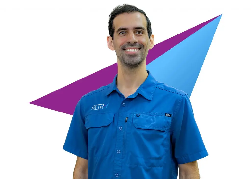
Ruben Rosado Del Rio
- Operations & field coordination across active projects
- Project management oversight from kickoff to closeout
- Crew leadership, deployment & resource scheduling
- Strategic growth, infrastructure & internal systems
Ruth L. Trujillo-Rodríguez, PS, PLS, PPL, PIC
PRINCIPAL SURVEYOR · PRESIDENT
- Professional planning consulting — land use, permitting, and development strategy
- Survey-grade technical leadership & licensure oversight
- Federal compliance strategy & deliverable standards
- Industry voice, academic affiliation & speaking
- Client and partner relationships
Ruben Rosado Del Rio
- Operations & field coordination across active projects
- Project management oversight from kickoff to closeout
- Crew leadership, deployment & resource scheduling
- Strategic growth, infrastructure & internal systems
Ruben Rosado Del Rio
- Operations & field coordination across active projects
- Project management oversight from kickoff to closeout
- Crew leadership, deployment & resource scheduling
- Strategic growth, infrastructure & internal systems
Ruben Rosado Del Rio
- Operations & field coordination across active projects
- Project management oversight from kickoff to closeout
- Crew leadership, deployment & resource scheduling
- Strategic growth, infrastructure & internal systems

Ruth L. Trujillo-Rodríguez, PS, PLS, PPL, PIC
PRINCIPAL SURVEYOR · PRESIDENT
- Professional planning consulting — land use, permitting, and development strategy
- Survey-grade technical leadership & licensure oversight
- Federal compliance strategy & deliverable standards
- Industry voice, academic affiliation & speaking
- Client and partner relationships
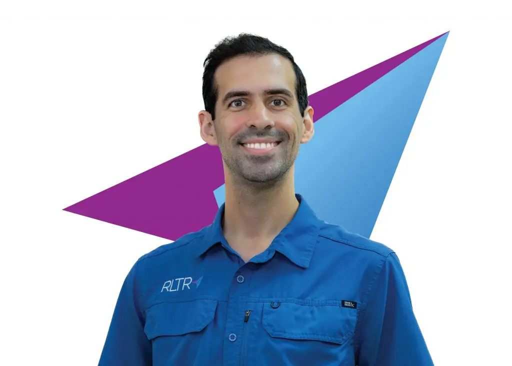
Ruben Rosado Del Rio
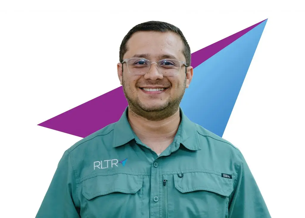
Neil A. Leaño López

Alfonso B. Montes Vázquez

Josué Negrón Rodríguez
OUR COMPASS
Mission, Vision, and the Values
that anchor every project
Our Mission
To deliver high-quality surveying and mapping that enables our clients to build, maintain, and restore Puerto Rico’s critical infrastructure with precision, integrity, and complete compliance — at every level, from utility to federal.
Our Vision
By 2030, to be Puerto Rico’s most trusted surveying firm for the utility and federal infrastructure sectors — known not for the volume of our work, but for the accuracy, the compliance, and the dependability our clients can count on every time.
Our Values
- Precision first — never approximations
- Integrity always — every signature earned
- Innovation driven — invest in better tools
- Local intelligence — we know PR’s field
HOW WE WORK
Six principles that define every
RLTR engagement
01
Precision
We get the details right because critical infrastructure decisions depend on accurate survey-grade data.
02
Compliance
We do the work the right way, following applicable laws, regulations, standards, safety requirements, and professional responsibilities.
03
Dependability
We honor our commitments through clear expectations, timely communication, accountable follow-through, and reliable deliverables.
04
Technical Growth
We continuously improve our skills, technology, and processes so we can serve clients with better, more efficient geospatial solutions.
05
Clear Communication
We communicate early, clearly, and professionally with our clients and with each other to reduce uncertainty and keep projects moving forward.
06
United Team
We work as one team, supporting each other, sharing knowledge, and staying aligned with RLTR’s mission, vision, and commitment to quality.
OUR CREDENTIALS
Eight active certifications.
Doors most firms can't open.
Every certification we hold opens a specific procurement door — and gives prime contractors a way to meet federal diversity requirements without sacrificing execution quality.
WOSB
Woman-Owned Small Business
Federally certified — qualifies RLTR for WOSB set-aside contracts and prime federal opportunities.
HUBZone
Historically Underutilized Business Zone
Federal preference category — opens HUBZone procurement priority on qualifying contracts.
DBE
Disadvantaged Business Enterprise
Eligible for DBE-set-aside transportation work — including PRHTA and FHWA-funded projects.
MBE
Minority Business Enterprise
Certified minority-owned — expands subcontracting eligibility on federally-funded projects.
TWIC
Transportation Worker Identification Credential
Mandatory for access to secured federal port facilities — few PR surveying firms hold it.
FAA Part 107
Remote Pilot in Command Certification
Authorized to operate UAVs for commercial survey purposes under FAA regulation.
OSHA 30
Construction Safety — 30-Hour
Section 3
HUD Self-Sufficiency Program
Certified for HUD-funded project participation supporting low-income workforce engagement.
Young Entrepreneur
CCPPR Recognized Status
Puerto Rico Chamber of Commerce recognized status for established young entrepreneurial leadership.
RECOGNITION
A voice in the profession —
locally and globally
INTERNATIONAL SPEAKER
FIG Working Week — Hanoi, Vietnam
Speaker at the global summit of the International Federation of Surveyors — representing Puerto Rico at the highest level of the profession.
PUBLISHED AUTHOR
POB Magazine (Point of Beginning)
Articles published in the leading U.S. national surveying trade magazine — reaching the entire American profession.
FEATURED COVERAGE
El Nuevo Día
Featured in Puerto Rico’s largest-circulation newspaper — including coverage on women in surveying and infrastructure leadership.
CONTRIBUTOR
Revista Dimensión
Published contributor to Puerto Rico’s leading geospatial industry magazine — covering practice, policy, and field methodology.
ACTIVE MEMBERSHIP
NSPS — National Society of Professional Surveyors
Active member of the U.S. national professional association — ongoing engagement with the broader American surveying community.
ANNUAL PARTICIPATION
NCEES & GeoWeek
Annual participation in NCEES (engineering licensure body) and GeoWeek — the leading U.S. geospatial industry conferences.
Ready to work with the team redefining
surveying in Puerto Rico?
Send us your scope and we’ll come back with a tailored proposal — built by the team that has set the standard for the profession in Puerto Rico.