CRITICAL INFRASTRUCTURE · PUERTO RICO & USVI
Are uncertain site conditions putting your infrastructure project at risk?
Missing, outdated, or inaccurate field data is one of the costliest risks in infrastructure — driving redesigns, change orders, and delays. RLTR delivers survey-grade geospatial data your team can build on with confidence.
FREE DOWNLOAD
The Most Common Survey Gaps That Delay Infrastructure Projects
A practical checklist for engineering and design teams to identify survey-related risks before they become redesigns, utility conflicts, permitting delays, or construction issues.
Trusted partner to U.S. Army Corps of Engineers · WSP · AVCON · ICF · Atkins and other leading infrastructure firms
WHERE ARE YOU IN YOUR PROJECT?
Wherever you are in your planning,
we are here to help
Different teams come to us at different moments. Whether you’re just starting to scope a project, evaluating surveyors, or already in the field — start here.
1
PRE-PROJECT PLANNING
You're scoping a future project
You don’t have a surveyor lined up yet — you’re thinking ahead. You want to understand what survey-grade data your project will need, what the risks are, and what to ask for when you go to bid.
2
EVALUATING SURVEYORS
You're choosing a partner
You have a project on your desk and you’re comparing surveyors. You want to know: can they handle federal compliance? Do they have the tech? Can they meet your deadline? Will their data hold up?
3
ALREADY DECIDED
You've chosen us — now what?
You’re already working with us, or about to. You want to know our process, how we deliver, what to expect at each milestone, and how we keep your project moving without surprises.
WHAT WE DO
The data that keeps your project
moving forward
A complete suite of survey-grade services for utilities, transportation, ports, and critical infrastructure — engineered to reduce uncertainty, prevent costly redesigns, and keep your project on schedule.
Topographic Surveys
Survey-grade topographic data for utilities, roadways, drainage, and site development — so your engineering team designs with certainty, not assumptions.
Drone Surveying
FAA Part 107 aerial mapping for terrain too large or complex to document from the ground — capturing reliable existing-conditions data fast.
3D LiDAR & Mobile Mapping
RTK SLAM LiDAR captures millions of precise 3D points across corridors, roadways, and structures — improving design coordination.
Bathymetric & Hydrographic
Survey-grade mapping of underwater and water-adjacent environments, including depth measurements, channel and river cross-sections, shoreline features, hydraulic structures, and water-related site conditions. We support coastal, drainage, environmental, flood-control, and infrastructure projects that require reliable data above and below the water surface.
Subsurface Utility (SUE)
Locating and designating underground utilities — eliminating the surprises that cause construction conflicts and dangerous delays.
As-Built Surveys
Documentation of existing conditions for completed construction, site improvements, and infrastructure — verifying what was actually built, supporting project closeout, record drawings, and future design work.
Boundary Surveys
Professional analysis and determination of the location of property lines using field evidence, title information, record documents, occupation lines, monuments, and applicable boundary principles.
Construction Staking
Survey-grade staking that translates approved plans into precise field locations — keeping crews building accurately from day one.
ALTA/NSPS Surveys
Survey-grade property and improvement information prepared to support commercial real estate transactions, financing, title review, and due diligence. These surveys document boundary evidence, easements, access, visible improvements, encroachments, and other site conditions in accordance with ALTA/NSPS standards.
WHAT PROJECT TEAMS ARE SAYING
Trusted on the projects
that don't allow for guesswork
ABOUT RLTR
She didn't just enter a male-dominated industry.
She rewrote who leads it in Puerto Rico.
In an industry where fewer than 3% of licensed surveyors in the U.S. are women, Ruth L. Trujillo-Rodríguez built something no one in Puerto Rico had built before — and she led the profession on the island long before she founded the firm.

INDUSTRIES WE SERVE
Built for the projects that keep
Puerto Rico running
From federal infrastructure to utilities and ports, our certifications and technology open doors that remain closed to most firms on Puerto Rico.
Energy & Utilities
Power grid, water, and telecom infrastructure — design, reconstruction, and maintenance support.
Transportation
Roadways, highways, bridges — DBE-eligible support for PRHTA and transportation agencies.
Ports & Maritime
TWIC-credentialed access to secured port facilities and coastal infrastructure projects.
Federal & Government
USACE, FEMA, and federal agency projects requiring certified, audit-ready geospatial data.
Construction
Survey support for general contractors and engineering firms on active build sites.
Water Resources
Bathymetric and hydrographic surveys for flood control, drainage, and coastal engineering.
Site Development
Topographic and boundary data for commercial, industrial, and mixed-use development.
USVI Projects
Extending certified survey capabilities to the U.S. Virgin Islands infrastructure market.
OUR TECHNOLOGY
The most advanced survey toolkit
in Puerto Rico
We invest in the technology that multiplies precision and efficiency — capturing data others can’t, faster and more reliably.
3D LiDAR & RTK SLAM
Real-time kinematic SLAM LiDAR captures millions of precise 3D points — documenting complex existing conditions with survey-grade accuracy in a fraction of the time.
UAV / Drone Mapping
FAA Part 107 certified aerial capture for large or hard-to-reach sites — producing orthomosaics, point clouds, and topographic models.
Bathymetric Systems
Single and multi-beam echo sounding for underwater terrain — essential for coastal, port, and flood-control projects.
GNSS / RTK Positioning
High-precision satellite positioning delivering centimeter-level accuracy across the most demanding field conditions.
cm
LEVEL ACCURACY
3D
POINT CLOUD CAPTURE
CAD/GIS
DELIVERY FORMATS
PR + USVI
LICENSED COVERAGE
EXPERIENCE & CAPABILITIES
A track record built on
infrastructure that matters
Because our work spans federal and government projects under strict confidentiality, we showcase the types of work we do and the partners who trust us — rather than naming protected projects.
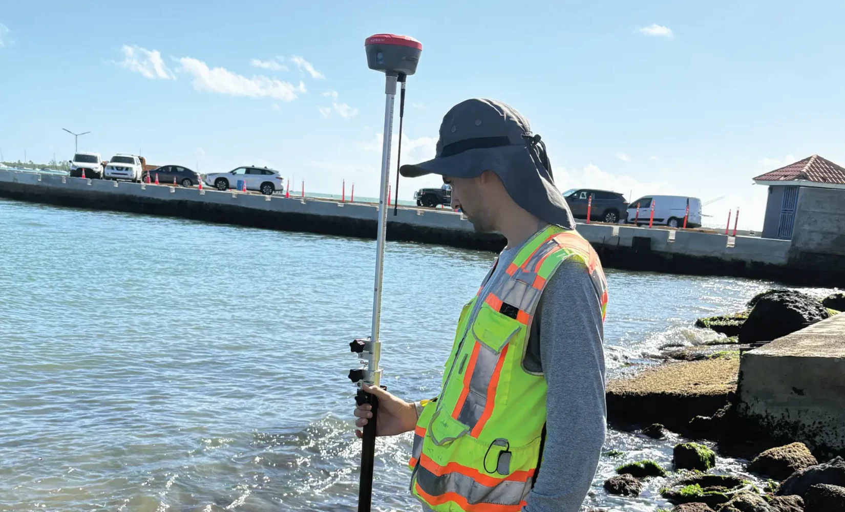
MARITIME
Port & Harbor Facilities
Survey support for regulated port and harbor infrastructure — requiring TWIC-credentialed access and audit-ready deliverables.
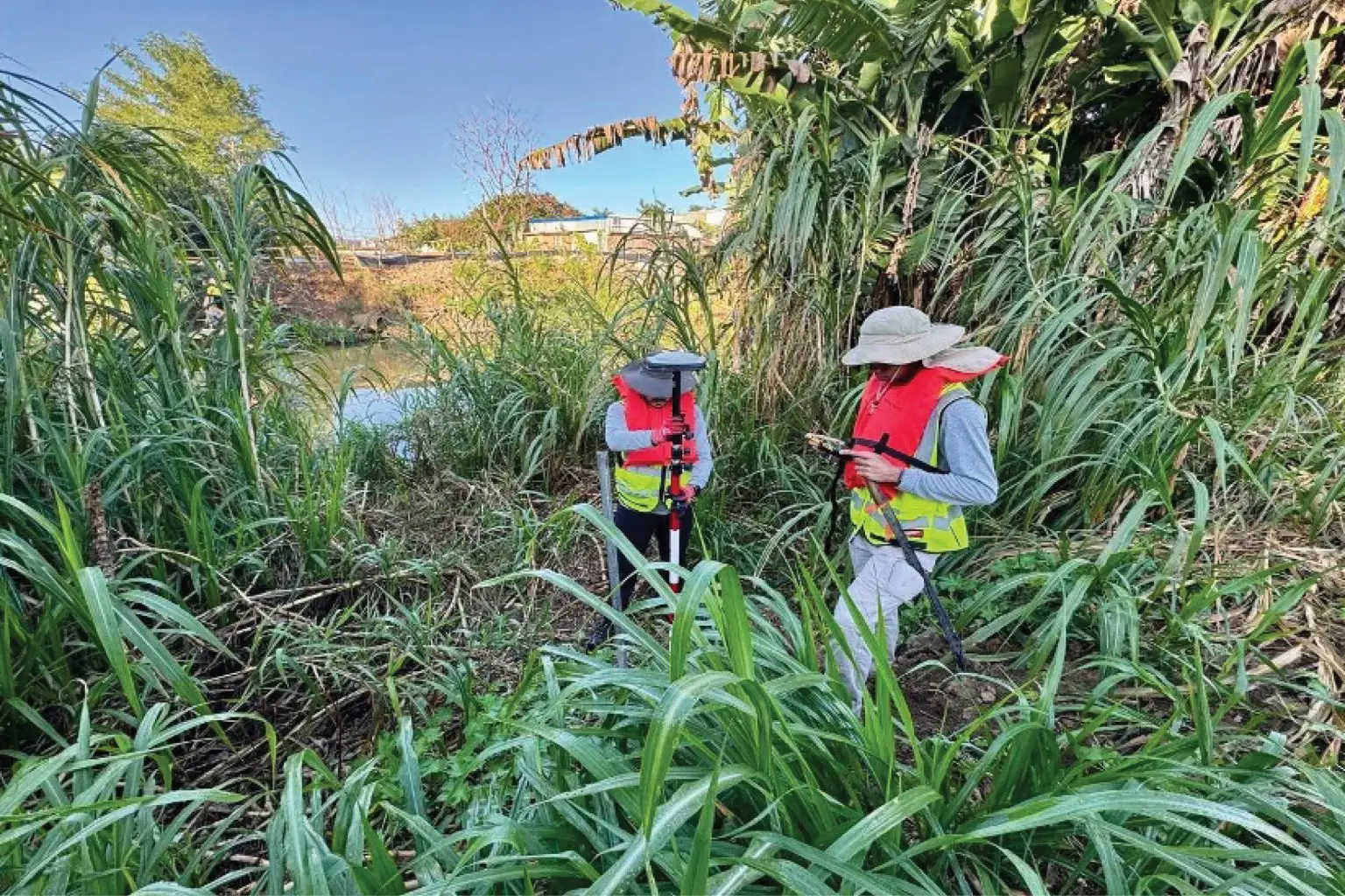
TRANSPORTATION
Roadway & Bridge Corridors
Topographic, boundary, and as-built surveys for transportation network reconstruction across Puerto Rico.
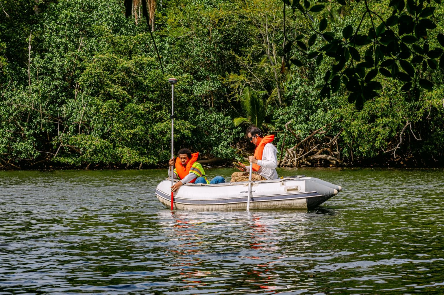
ENERGY · UTILITIES
Utility Infrastructure
Survey-grade data for power, water, wastewater, and telecommunications infrastructure — including corridor mapping, subsurface utility engineering, and existing-conditions documentation for design, reconstruction, and relocation projects.
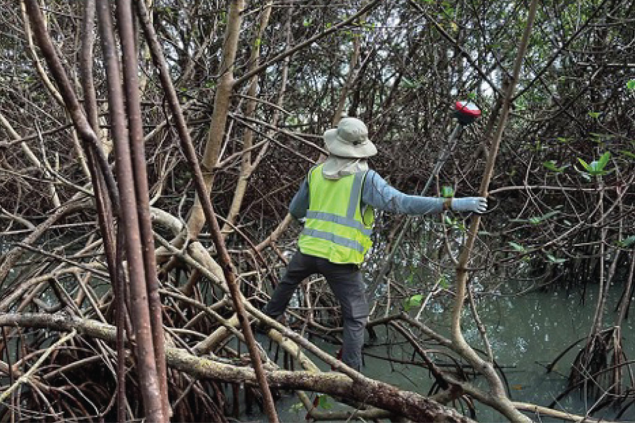
COASTAL · WATER
Coastal & Flood Control
Bathymetric and hydrographic surveys supporting flood mitigation and coastal resilience infrastructure.
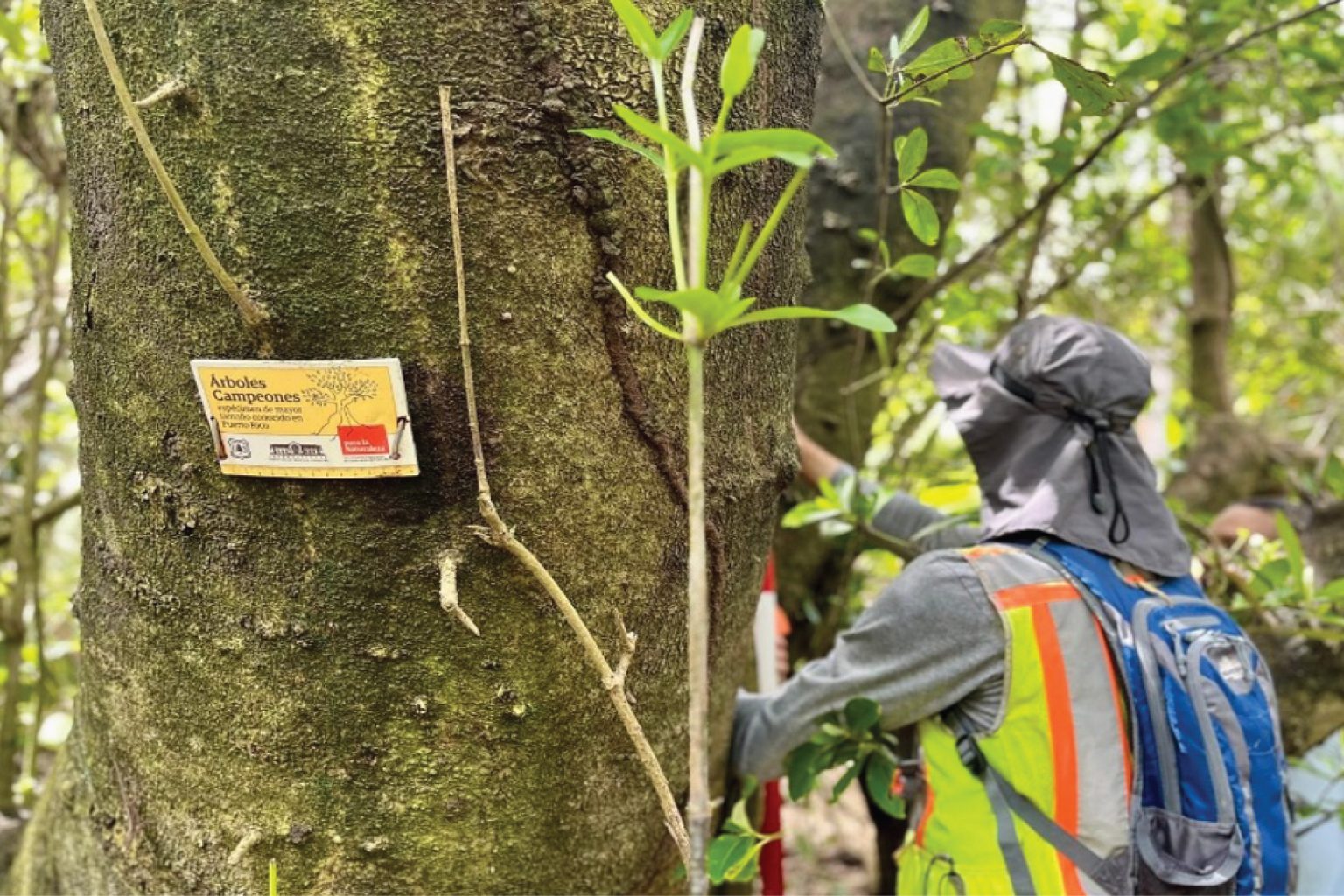
Enviroment
Natural Resources & Conservation
Surveying and mapping support for projects involving wetlands, rivers, coastal areas, habitat restoration, floodplains, parks, and environmentally sensitive sites where reliable field data is needed for planning, design, permitting, and long-term conservation.
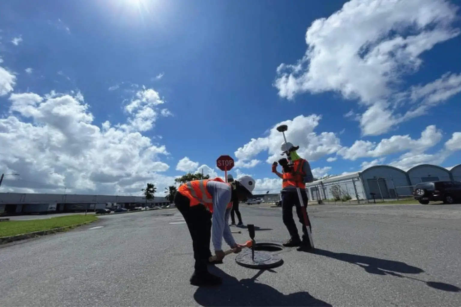
CONSTRUCTION
Industrial & Site Development
Construction staking and as-built documentation for large-scale industrial and development projects.
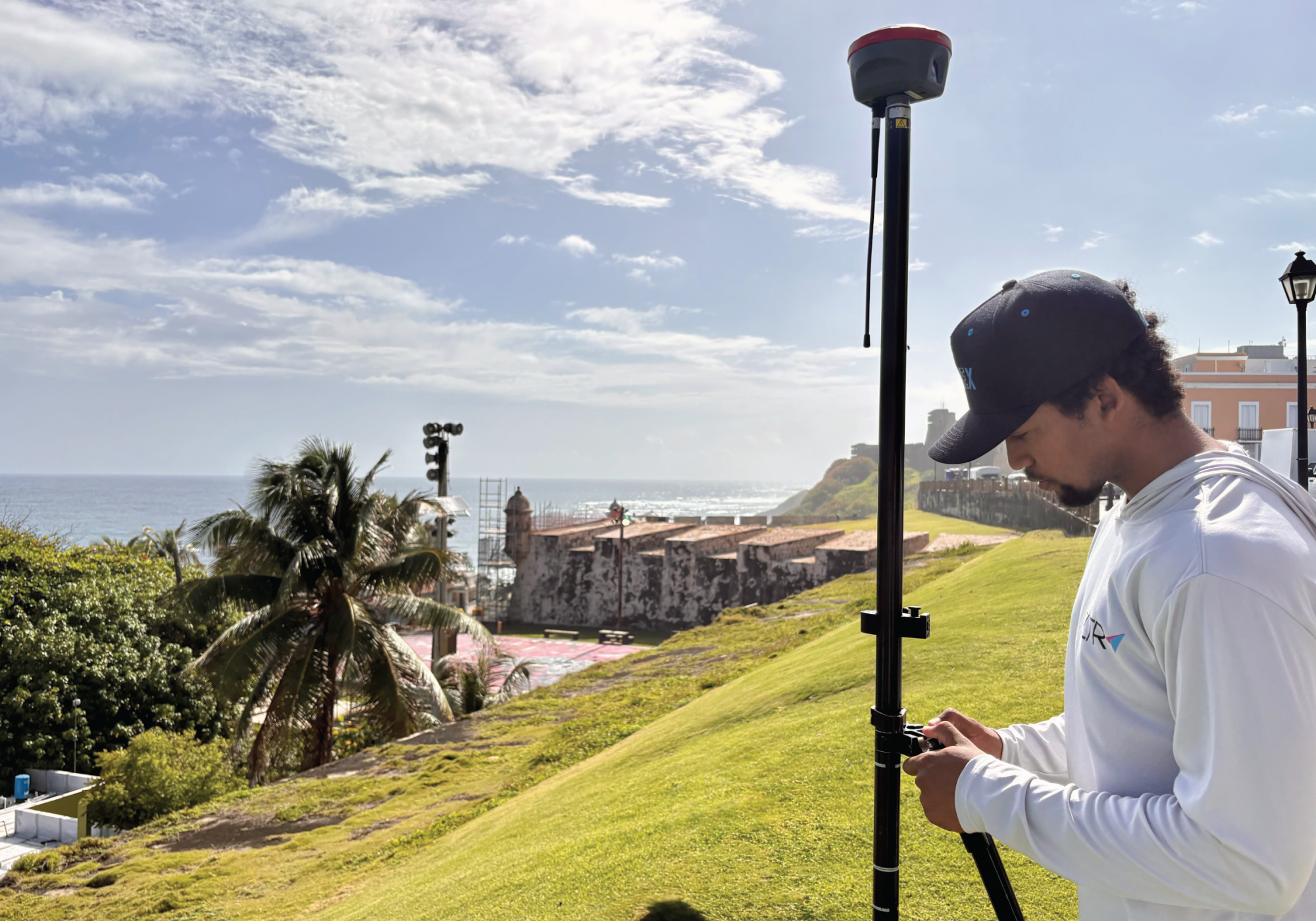
CULTURE
Historic Sites & Cultural Heritage
Surveying and mapping support for historic properties, cultural landmarks, and preservation projects requiring accurate documentation of existing conditions, structures, site features, and surrounding context.
U.S. Army Corps of Engineers
WSP Global Inc.
AVCON, INC.
ICF International, Inc.
AtkinsRéalis
IEM International
CSA Oceanic
ShareTech Group
Jaca & Sierra
A note on confidentiality:
Many of our engagements are federal projects governed by non-disclosure agreements. We cannot name specific projects or locations until they are officially completed and publicly released. The organizations above represent partners and agencies we've supported — a reflection of the trust placed in our work.
Federal Compliance
Deliverables engineered to survive federal audit and regulatory scrutiny — the standard for FEMA, USACE, and agency work.
Survey-Grade Precision
Centimeter-level accuracy backed by professional licensure and rigorous QC before every delivery.
CAD / GIS Integration
Data delivered in the formats your design team actually uses — including DWG, DXF, PDF, CSV/TXT point files, LandXML surfaces, LAS/LAZ/E57/RCP point clouds, shapefiles, KMZ/KML, georeferenced imagery, reports, and other project-specific deliverables.
Rapid Mobilization
We coordinate access, permits, and equipment so your team doesn’t have to.
Subcontract-Ready
Our certification stack lets large engineering firms meet diversity requirements while getting elite local execution.
Multi-Disciplinary
Topographic, boundary, hydrographic, LiDAR, and SUE — one trusted partner across the full survey spectrum.
INSIGHTS & FIELD KNOWLEDGE
Practical thinking on the work that keeps
Puerto Rico's infrastructure moving
Articles, breakdowns, and field-tested guidance — organized by where you are in your project. Read what’s relevant to you right now.

PRE-PROJECT · BASICS
Why Uncertain Site Conditions Can Put Infrastructure Projects at Risk
Uncertain site conditions can lead to redesign, delays, utility conflicts, access issues, and construction risk. Learn why early field verification matters for infrastructure projects in Puerto Rico and the USVI.

PRE-PROJECT · BASICS
Before Design Begins: The Importance of Reliable Survey Data
Reliable survey data supports better design decisions by documenting existing conditions, elevations, utilities, structures, access constraints, and site risks before infrastructure projects move forward.
PRE-PROJECT · CURATION
GIS vs. Survey Data: What Project Teams Should Know
GIS data is useful for planning, but infrastructure design and construction often require verified survey data. Learn the difference and when each type of data is appropriate.

PRE-PROJECT · BASICS
What Actually Drives the Cost of a Survey in Puerto Rico
Terrain, access, records, regulations — the real cost drivers behind your next project’s survey.
ARTICLE
PRE-PROJECT · BASICS
What Actually Drives the Cost of a Survey in Puerto Rico
Why one surveyor quotes $X and another quotes $3X — what that tells you.
ARTICLE
PRE-PROJECT · CURATION
7 Ways to Manage Your Survey Budget Without Cutting Quality
Practical, field-tested ways to control survey costs without compromise.
ARTICLE
EVALUATING · PROCESS
From Records to Monuments: How a Federal-Compliant Survey Actually Runs
Step by step behind the scenes of a federally funded survey.
ARTICLE
EVALUATING · DETAILS
The 7 Factors That Change Your Survey Price
Why one surveyor quotes $X and another quotes $3X — what that tells you.
ARTICLE
EVALUATING · HISTORY
Why Puerto Rico's Surveying Laws Exist
A quick guide to the local statutes that shape every deliverable.
ARTICLE
AFTER DECISION · EXAMPLE
What a Smooth Survey Engagement Actually Looks Like
From kickoff to handoff — what made it work.
ARTICLE
AFTER DECISION · DATA
PR Surveying Standards & Federal Compliance
The standards your survey data must satisfy for FEMA, USACE, and PR agencies.
ARTICLE
AFTER DECISION · OPINION
Cheap ≠ Good: Why the Lowest Bid Often Costs the Most
Hidden costs of choosing on price alone.
ARTICLE
FREQUENTLY ASKED QUESTIONS
Real answers to the questions
project teams ask us most
Whether you’re scoping a future project or evaluating surveyors right now — start here.
What kind of project does RLTR typically work on?
• We focus on critical infrastructure across Puerto Rico and the USVI — federal projects for USACE and FEMA, transportation and roadway work for PRHTA, utility infrastructure (energy, water, telecom), port and maritime facilities, and large-scale industrial or commercial development.
Our specialty is work that requires survey-grade precision, federal compliance, and credentials most local firms can’t match — like TWIC for maritime access, HUBZone for federal preference, or our full DBE/MBE/WOSB stack.
Do you work outside of Puerto Rico?
• Yes. We are licensed and active in both Puerto Rico and the U.S. Virgin Islands. Our certifications (WOSB, HUBZone, DBE, MBE) apply to federal contracts in both territories.
Are RLTR deliverables federally compliant?
• Yes. Every deliverable is engineered to survive federal audit. Our process is built around the documentation, accuracy, and metadata standards required by FEMA, USACE, FHWA, and PR agency review.
We are routinely subcontracted by large national firms specifically because our deliverables clear federal review without rework.
Our specialty is work that requires survey-grade precision, federal compliance, and credentials most local firms can’t match — like TWIC for maritime access, HUBZone for federal preference, or our full DBE/MBE/WOSB stack.
What certifications does RLTR hold?
• RLTR maintains nine active federal and state certifications:
WOSB (Woman-Owned Small Business) · HUBZone · DBE (Disadvantaged Business Enterprise) · MBE (Minority Business Enterprise) · TWIC (port/maritime access) · FAA Part 107 (drone pilot in command) · OSHA 30-Hour Construction · Section 3 · Young Entrepreneur (CCPPR).
Can large engineering firms subcontract RLTR to meet diversity requirements?
• Absolutely — and many do. Our WOSB + HUBZone + DBE + MBE certification stack lets prime contractors fulfill federal diversity participation requirements while getting elite local technical execution.
If you’re a national A/E firm responding to a federal RFP that requires PR-based diverse subcontractors, send us your scope.
What survey technology does RLTR use?
• Our toolkit includes 3D LiDAR with RTK SLAM, UAV/drone systems (FAA Part 107 certified), bathymetric single and multi-beam echo sounding for underwater work, and GNSS/RTK positioning for centimeter-level field accuracy.
We invest in the tools that capture data faster and more reliably — especially for projects where traditional methods would take twice as long or miss critical detail.
In what format can you deliver survey data?
• We deliver in the formats your design team actually uses: CAD (DWG/DXF), GIS (Shapefile, GeoPackage), PDF, and processed pt cloud formats (LAS/LAZ/E57/RCP) when needed. We agree on deliverables up front so nothing gets re-translated.
Do you offer Subsurface Utility Engineering (SUE)?
• Yes. SUE — locating and designating underground utilities before construction — is one of our core services. It’s also one of the most overlooked steps that leads to costly project conflicts. Read our insights on the 7 most common survey gaps to see why.
How fast can you turn around a proposal?
• Once we receive your scope, we confirm the timeline up front so your team knows exactly what to expect. Larger or more complex scopes may require additional review. Either way, the proposal you receive is tailored to your project — not a generic template.
How does RLTR price survey?
• Survey pricing is driven by real, identifiable factors — terrain, access, project size, deliverable format, deadline, compliance level, and crew/equipment required. There’s no “list price” because no two projects have the same conditions.
Why can't you share the name of past projects?
• A large portion of our work is governed by federal NDAs. We don’t disclose project names, locations, or details until the project is officially completed and publicly released by the contracting agency.
What we can share publicly are the types of work we’ve performed and the partners and agencies who’ve trusted us — both visible on our Experience section.
How do we start a project together?
• Email your scope to proposal@RLTRsurvey.com or use our contact form, and we’ll confirm timing and next steps. If you’d prefer a conversation first, we offer a free Project Data Review — tell us about your project and we’ll map out the data you’ll need.
GET IN TOUCH
Let's keep your project moving forward
Send us your project scope and receive a professional proposal tailored to your project — not a generic template.
EMAIL PROPOSALS
proposal@RLTRsurvey.com
PHONE
(787) 210-7049
OFFICE
229 Juan P. Duarte, Office 3A San Juan, PR 00917
